

 Accomodation (16)
 Food (6)
 Entertainment (3)
 Extreme & Recreation (3)
 Guides (8)
 Transportation (32)
 Car Rental (4)
 Photo Gallery
 Video Gallery


Gedaklari-Rkoni is a remote and isolated route winding through the forests of Trialeti. This trail stands out among the mountainous and forested routes of the Georgian part of the Lesser Caucasus, particularly the Trialeti Range. It traverses the range, meandering through stunning forests, undiscovered megalithic churches of Shida Kartli (Inner Kartli), and abandoned villages. These villages captivate us with their isolated locations, reached only after several kilometers of hiking through pristine wilderness.
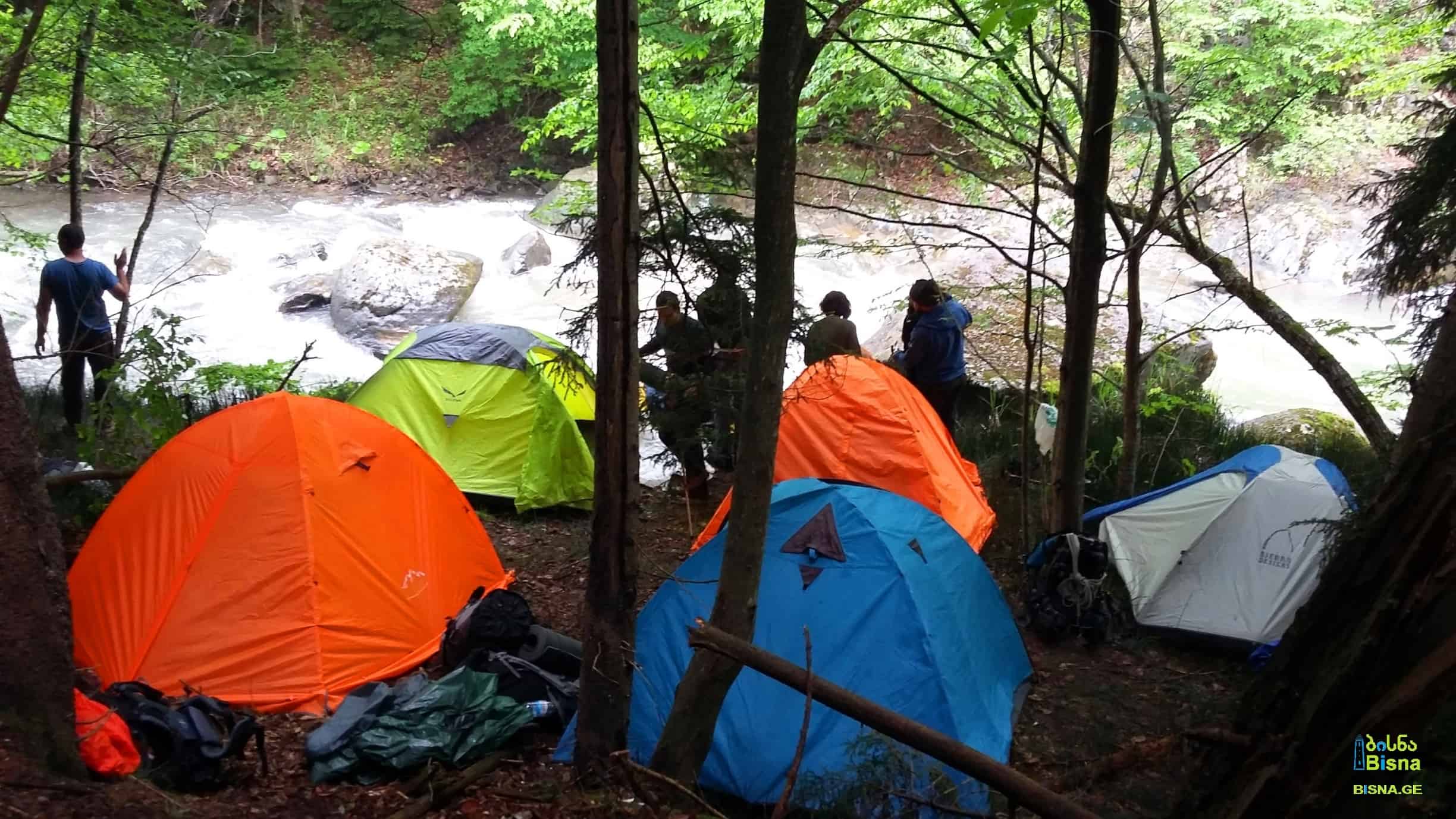
One or two nights of camping are required during the tour.
Iuri Range with the small church on its edge
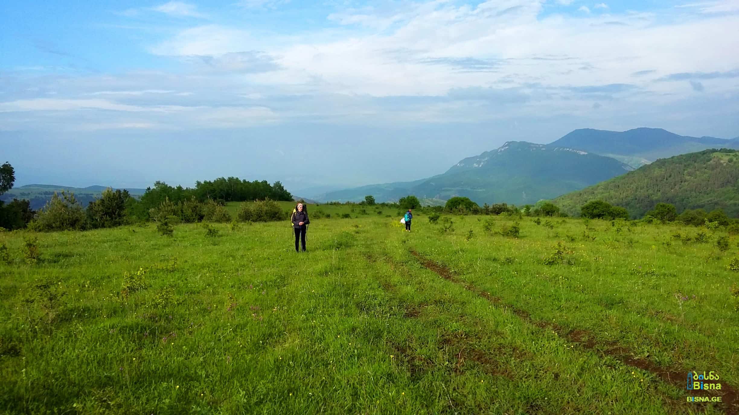
 The trail begins in Gedaklari village, located in Tsalka Municipality. After traversing the southern treeless steppe slopes of the Trialeti Range, we ascend to the range's peak, offering panoramic views of the forested northern slopes. Unlike the southern slopes, the northern side is densely forested. In the distance, a small building atop the Iuri Range catches our eye.
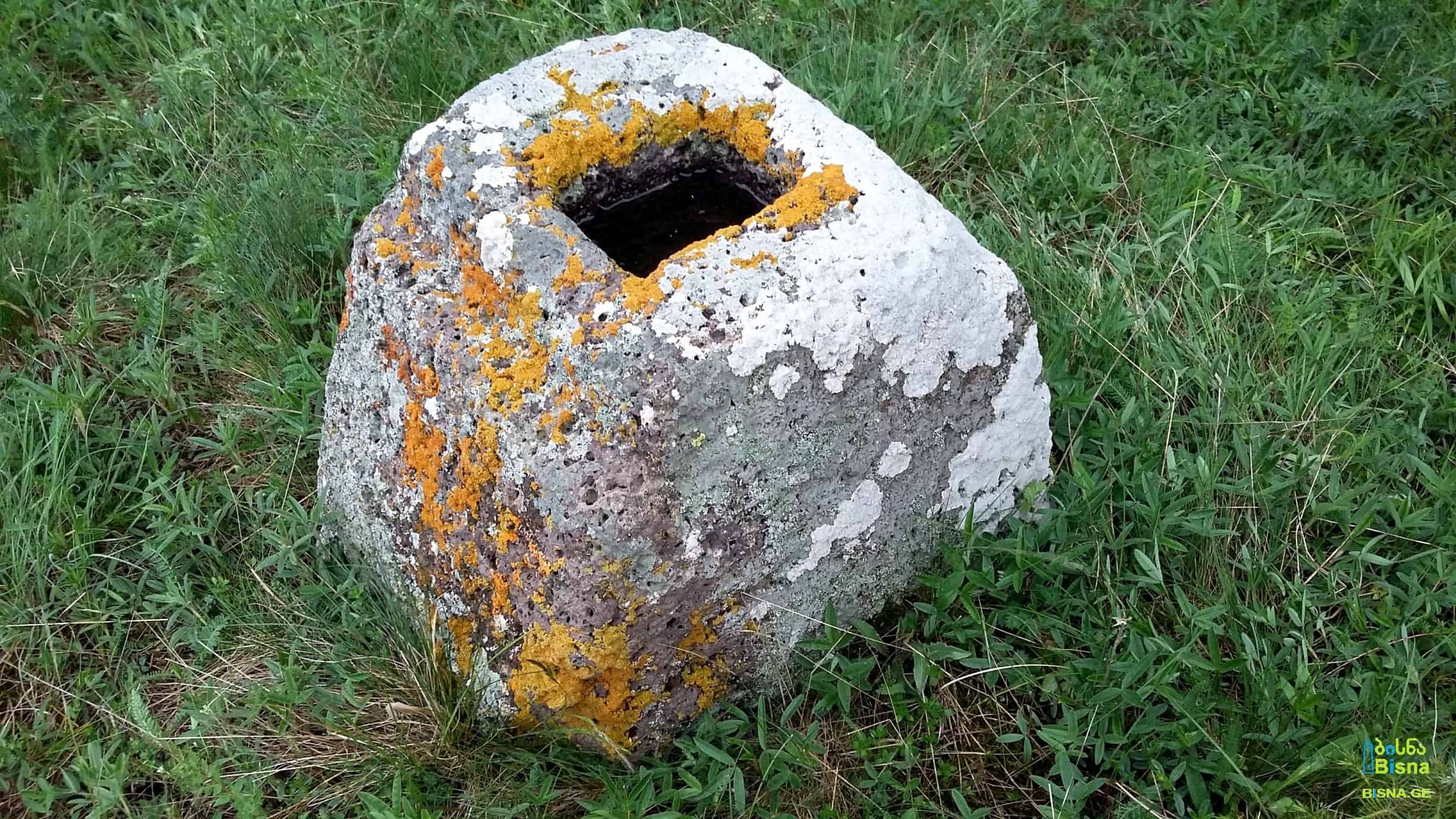
This structure is a small church adorned with massive megaliths, indicating its ancient origins. The size of the stones in its walls is truly remarkable.
Small megalith church on Iuri Range

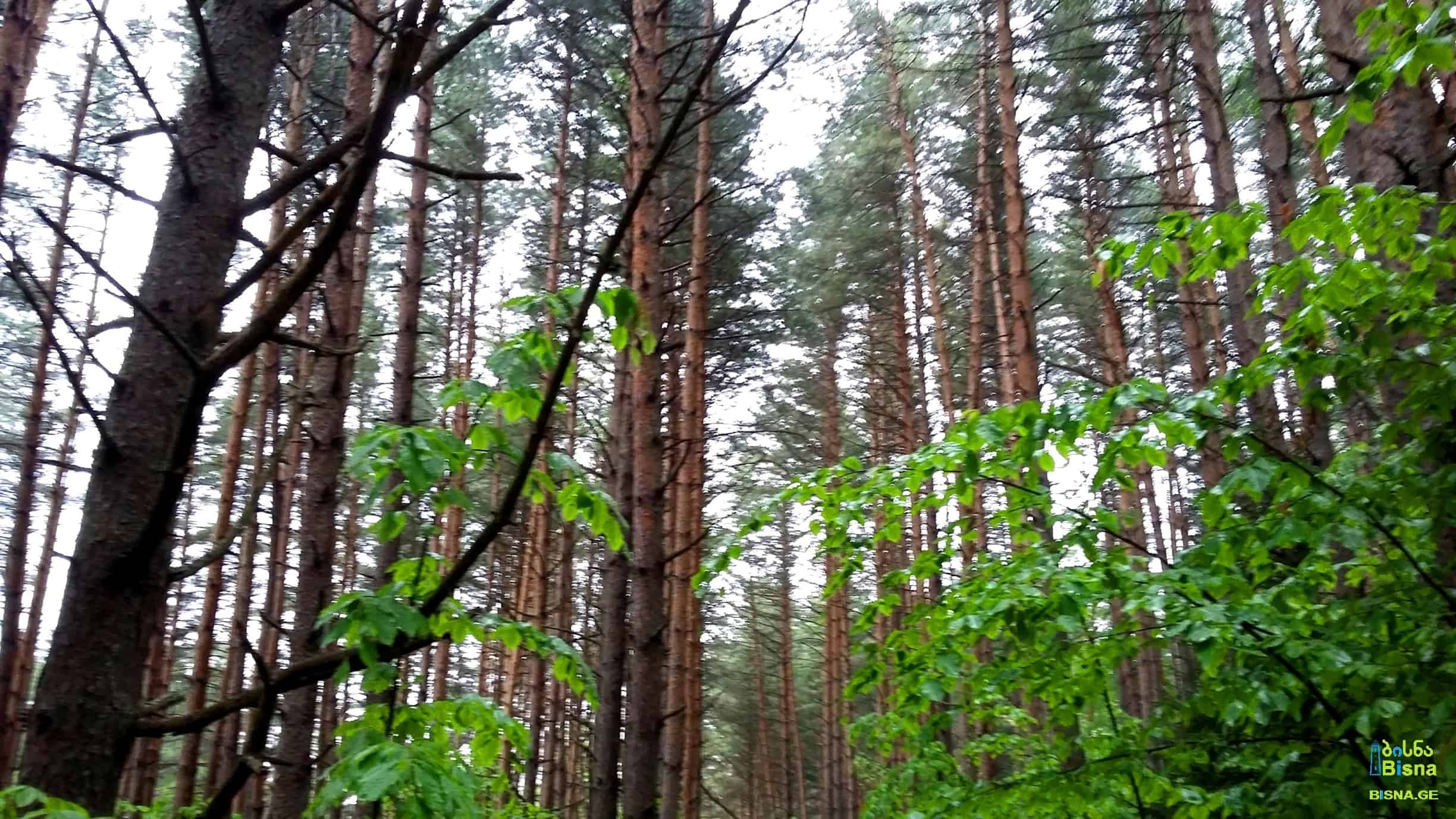
A steep descent follows, leading us into the forest.

After hiking a certain distance, we stumble upon an abandoned village, nestled amidst the forest several kilometers away from the nearest settlement. Some buildings still bear traces of window and door frames. It's evident that no one has inhabited this village for at least several decades. Surprisingly, we discovered this village on an old Soviet topographic map, labeled as Iuri. It's likely that the mountain range derived its name from this village, and the church atop the range may have been constructed by its former inhabitants. We also found another church at the village's end.

Ruins can also be found where, according to old Soviet maps, the abandoned village of Iormakhinji once stood.
Crossing the Tedzami River, we embark on a steep, forested ascent along the southern slope of the range, dividing Tedzami and Vitskha Valleys. As we ascend, the steepness gradually decreases, revealing breathtaking views of Tedzami Valley, the Trialeti forests, and mountains.
Southern slope of the range dividing Tedzami and Vitskha Valleys

Heavily forested mountains and hills north of Trialeti Range (basin of the Tedzami River)
 Upon reaching the summit, we descend towards the north, into Vitskha Valley. Eventually, we reach an unpaved off-road track, which, after several kilometers of travel past the farms of Vitskha Valley and the Church of John the Baptist, leads us to the road to Rkoni village, marking the end of our tour.
Gedaklari-Rkoni is a remote and isolated route winding through the forests of Trialeti. This trail stands out among the mountainous and forested routes of the Georgian part of the Lesser Caucasus, particularly the Trialeti Range. It traverses the range, meandering through stunning forests, undiscovered megalithic churches of Shida Kartli (Inner Kartli), and abandoned villages. These villages captivate us with their isolated locations, reached only after several kilometers of hiking through pristine wilderness.
One or two nights of camping are required during the tour.
Iuri Range with the small church on its edge
The trail begins in Gedaklari village, located in Tsalka Municipality. After traversing the southern treeless steppe slopes of the Trialeti Range, we ascend to the range's peak, offering panoramic views of the forested northern slopes. Unlike the southern slopes, the northern side is densely forested. In the distance, a small building atop the Iuri Range catches our eye.
This structure is a small church adorned with massive megaliths, indicating its ancient origins. The size of the stones in its walls is truly remarkable.
Small megalith church on Iuri Range
A steep descent follows, leading us into the forest.
After hiking a certain distance, we stumble upon an abandoned village, nestled amidst the forest several kilometers away from the nearest settlement. Some buildings still bear traces of window and door frames. It's evident that no one has inhabited this village for at least several decades. Surprisingly, we discovered this village on an old Soviet topographic map, labeled as Iuri. It's likely that the mountain range derived its name from this village, and the church atop the range may have been constructed by its former inhabitants. We also found another church at the village's end.
Ruins can also be found where, according to old Soviet maps, the abandoned village of Iormakhinji once stood.
Crossing the Tedzami River, we embark on a steep, forested ascent along the southern slope of the range, dividing Tedzami and Vitskha Valleys. As we ascend, the steepness gradually decreases, revealing breathtaking views of Tedzami Valley, the Trialeti forests, and mountains.
Southern slope of the range dividing Tedzami and Vitskha Valleys
Heavily forested mountains and hills north of Trialeti Range (basin of the Tedzami River)
Upon reaching the summit, we descend towards the north, into Vitskha Valley. Eventually, we reach an unpaved off-road track, which, after several kilometers of travel past the farms of Vitskha Valley and the Church of John the Baptist, leads us to the road to Rkoni village, marking the end of our tour.
Search/Filter
