

 Accomodation (16)
 Food (6)
 Entertainment (3)
 Extreme & Recreation (3)
 Guides (8)
 Transportation (32)
 Car Rental (4)
 Photo Gallery
 Video Gallery
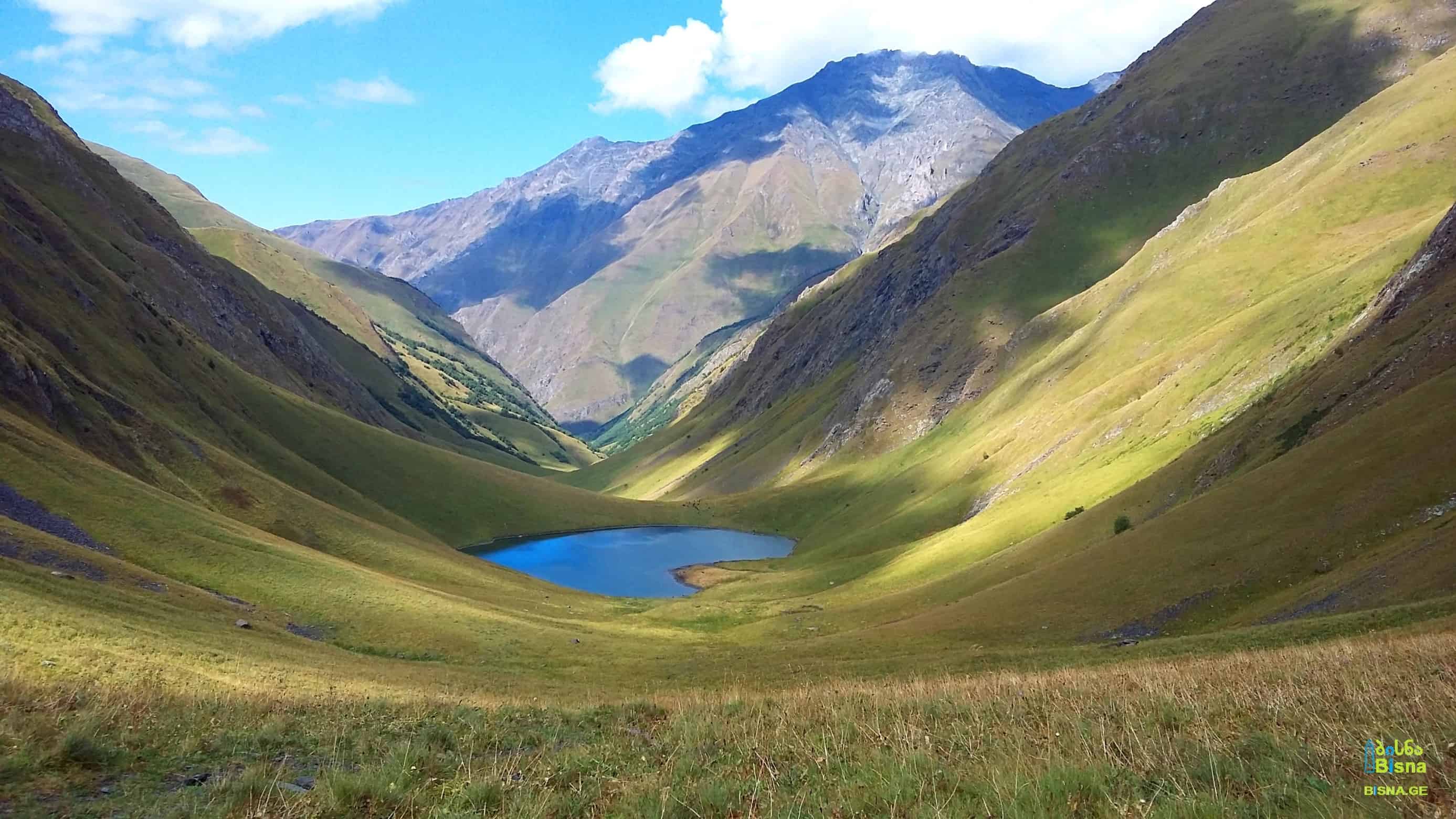

Arkhoti is the most isolated among the settled areas of Georgia.
Pirikita Khevsureti (the part of Khevsureti located north of the Caucasus Range) consists of three valleys:
● Ardoti Valley — the basin of the Andaki (Ardotistskhali) River;
● Shatili Valley — the basin of the Argun River;
● Arkhoti Valley — the basin of the Asa (Arkhotistskhali) River.
Arkhoti is the most remote and hard-to-reach among these three valleys. There are no communication services or cellular coverage in the valley, and the road to the villages of Arkhoti was only constructed in 2017. Prior to this, Arkhoti was the only settled area in Georgia inaccessible by any kind of vehicle.
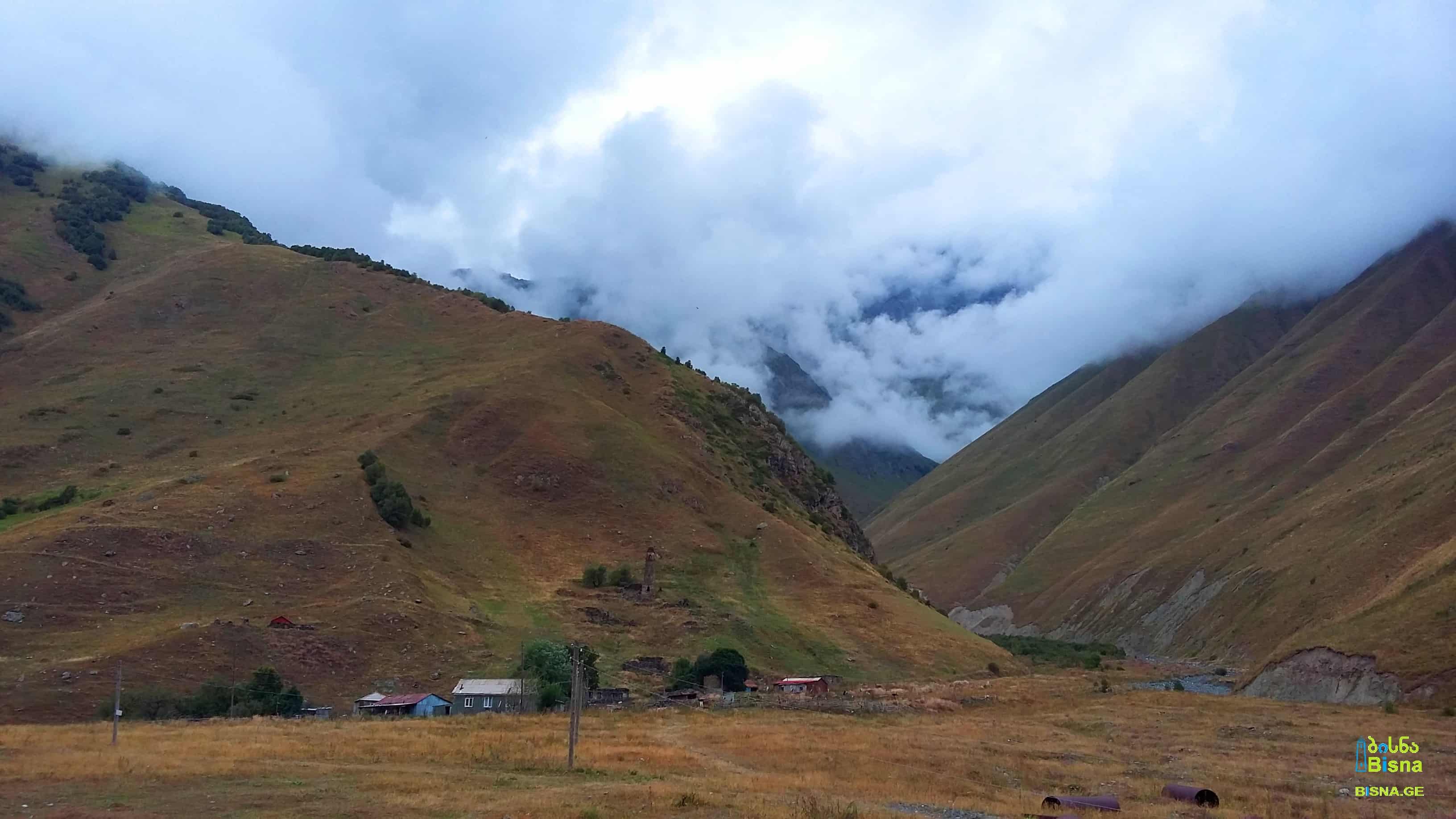
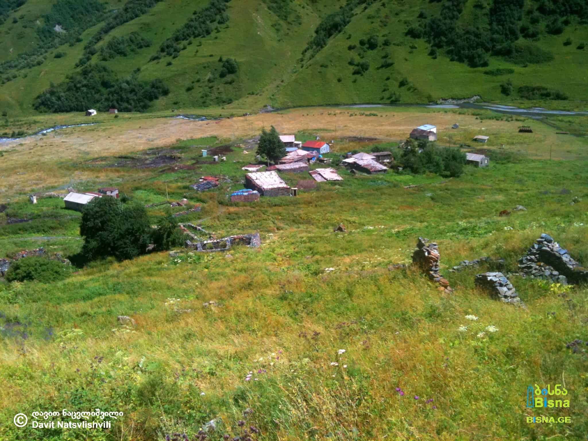
There are three villages in Arkhoti: Chimgha, Akhieli, and Amgha, with a total permanent population not exceeding 15 persons.
We can start the route either from the village of Roshka in Piraketa Khevsureti (Dusheti Municipality) or from the village of Juta in Khevi (Khazbegi Municipality).
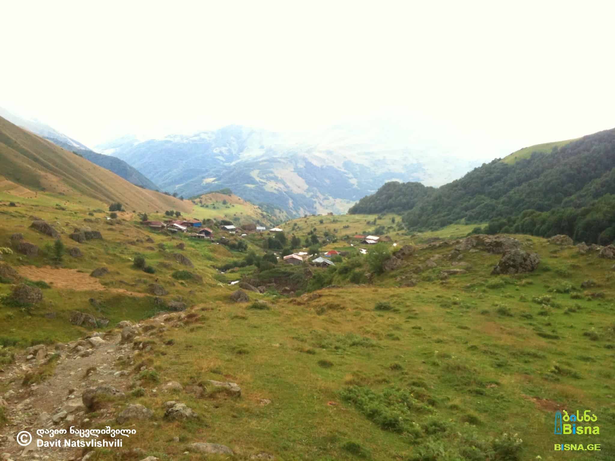
Roshka village

From Roshka, the route to Arkhoti follows the new road crossing the Caucasus Range through Arkhoti Pass, while from Juta, we must hike along a mountain path through Arkhotistavi Pass (3265 m / 10712 ft).
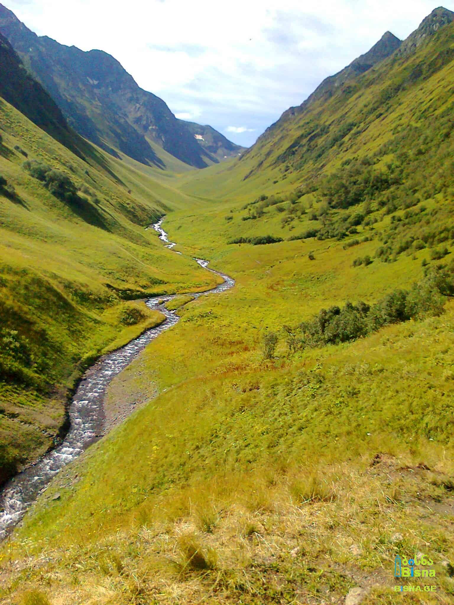
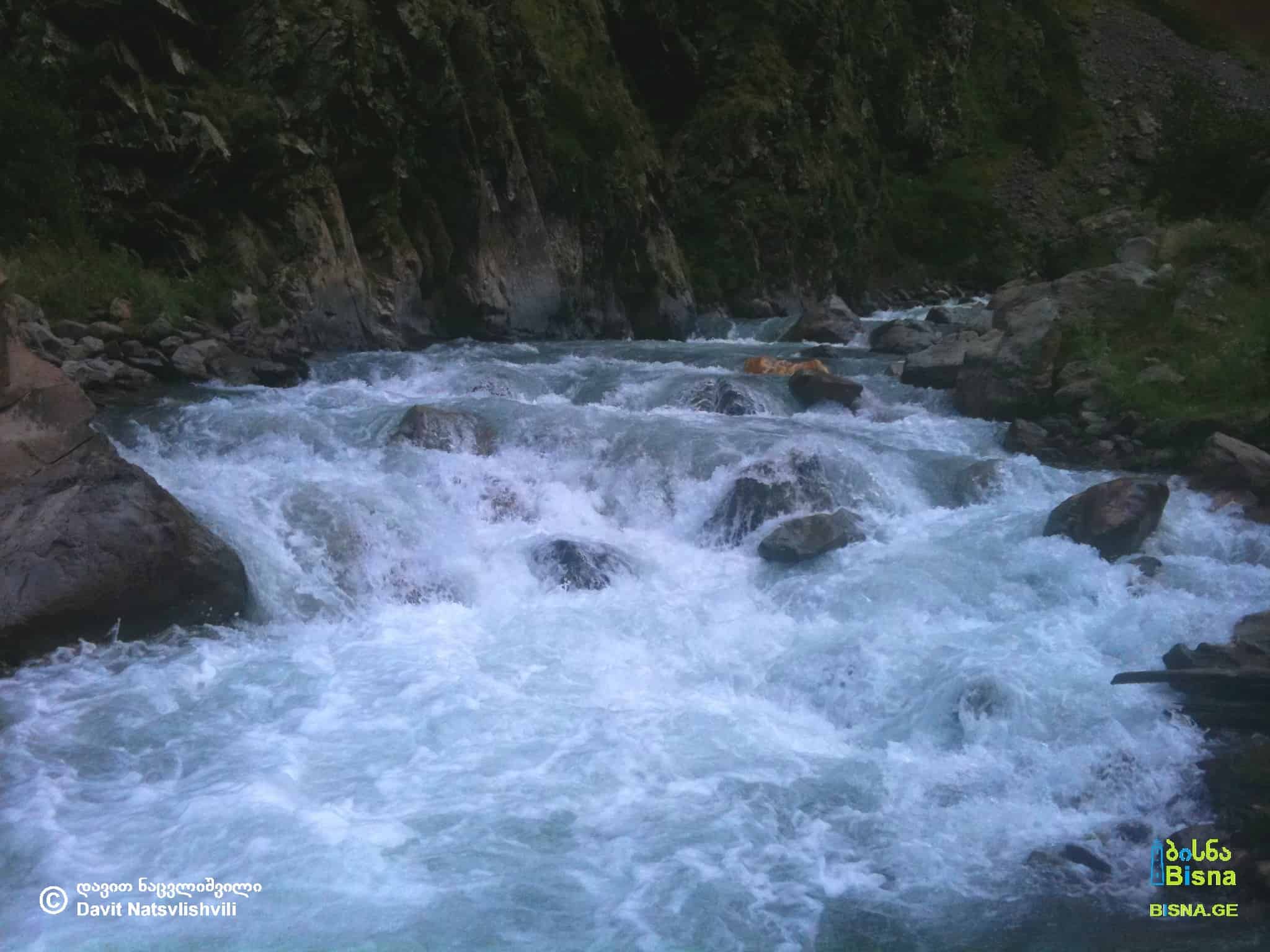
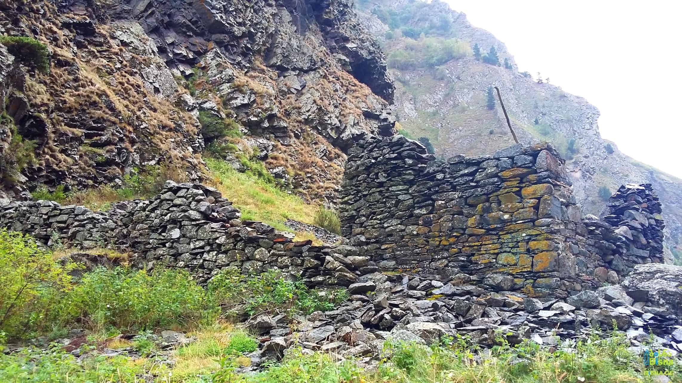
In both cases, we pass the rocky massif of Chimga on the right and proceed to Akhieli Village, followed by Amgha Village. After Amgha, we traverse the narrow valley of the Asa River and Kavis Kari until we reach the confluence of the Taniestskhali (the right tributary of the Asa) with the Asa River.
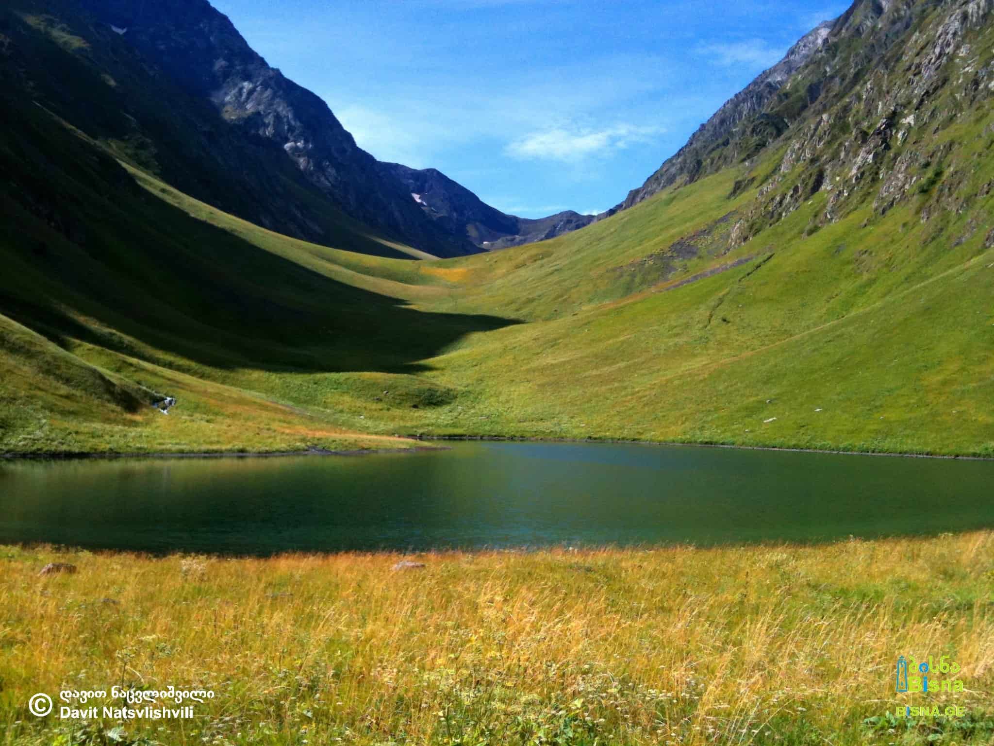
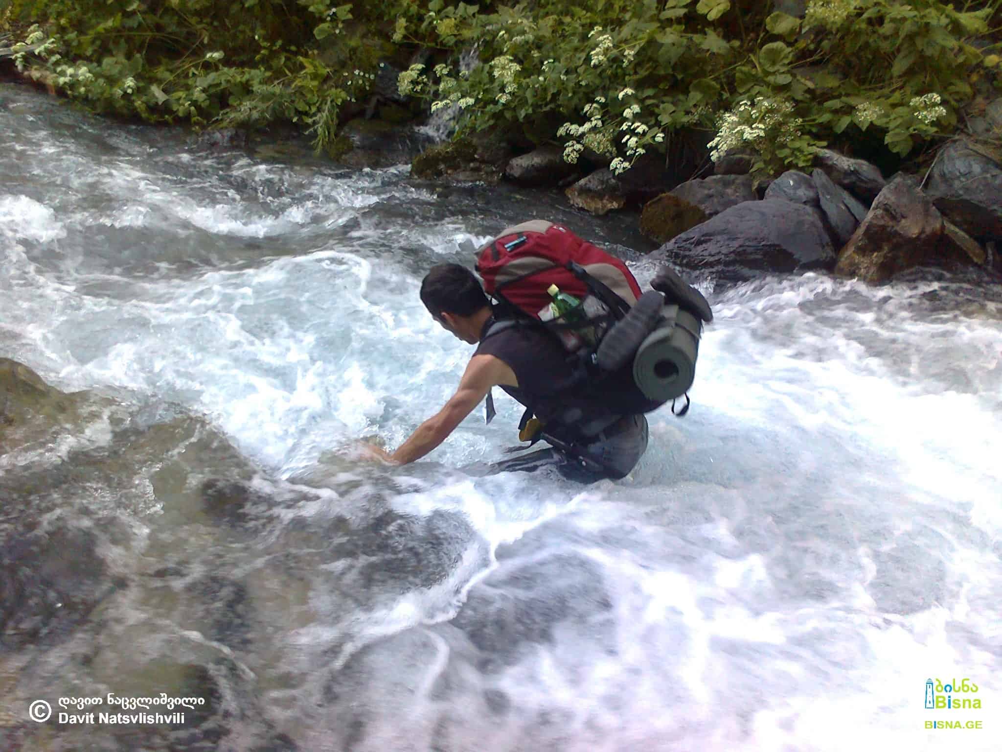
The Taniestskhali Valley is the most challenging section of the tour. We frequently have to cross the river and sometimes navigate through the streambed. Eventually, we reach the point where the two main streams of Taniestskhali converge.
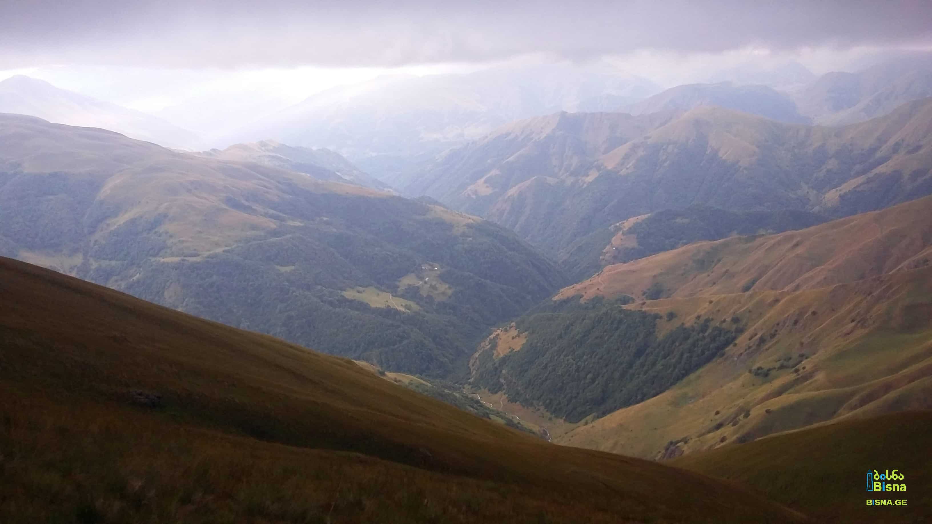
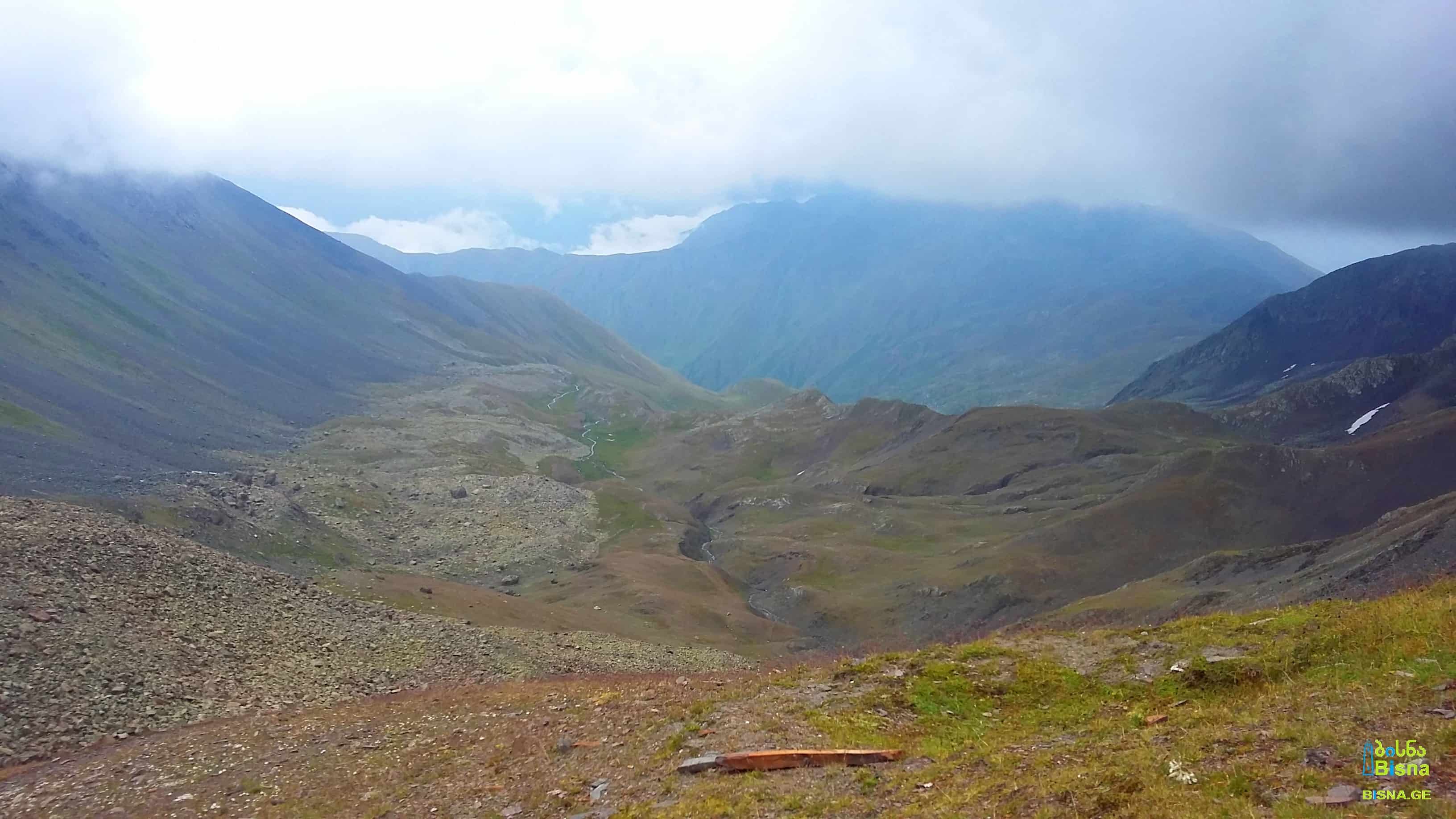
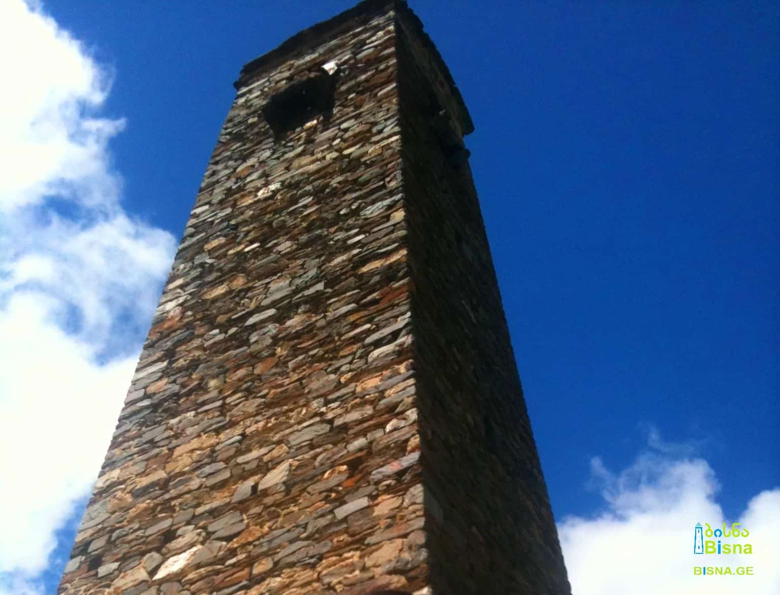
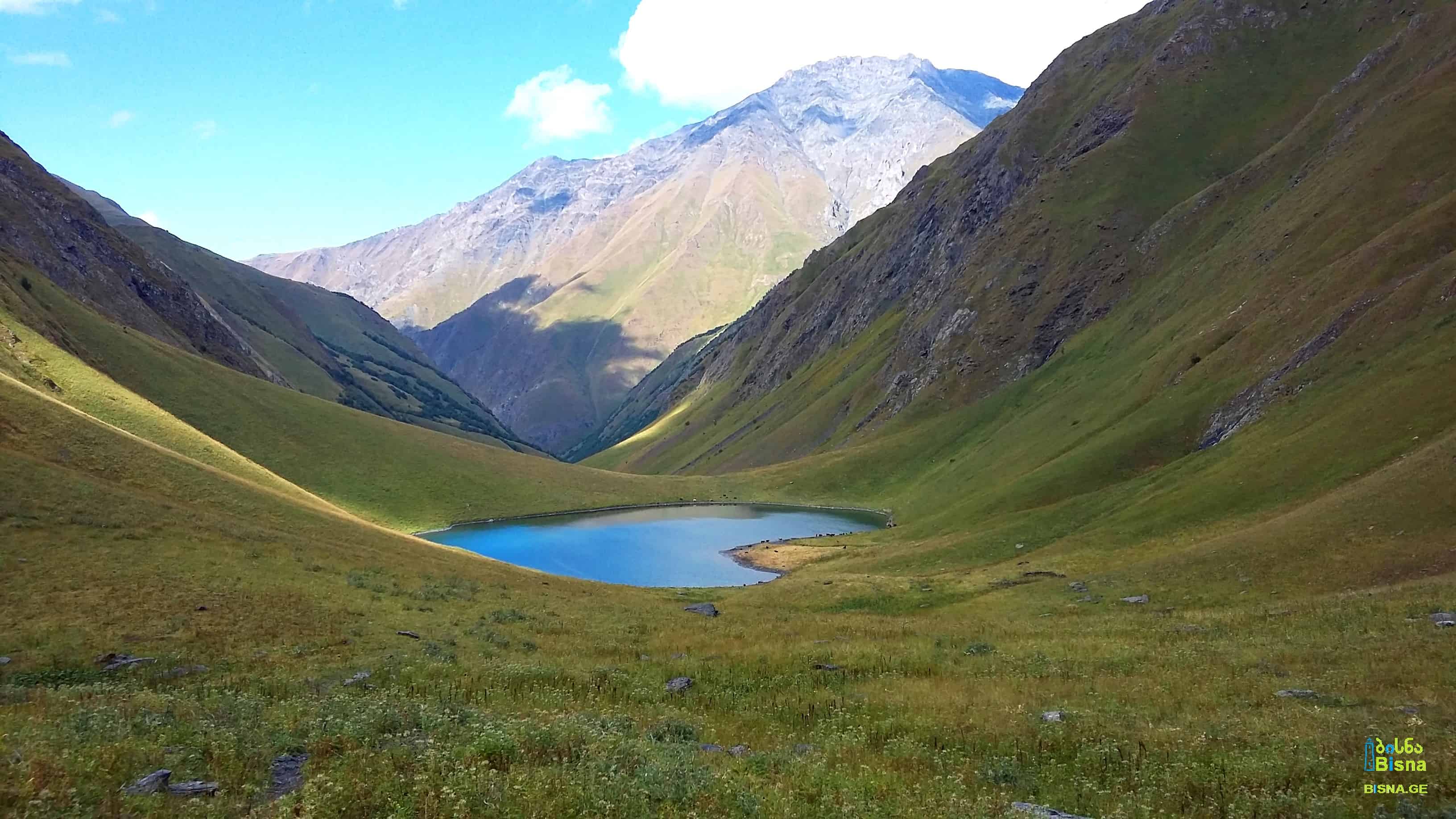
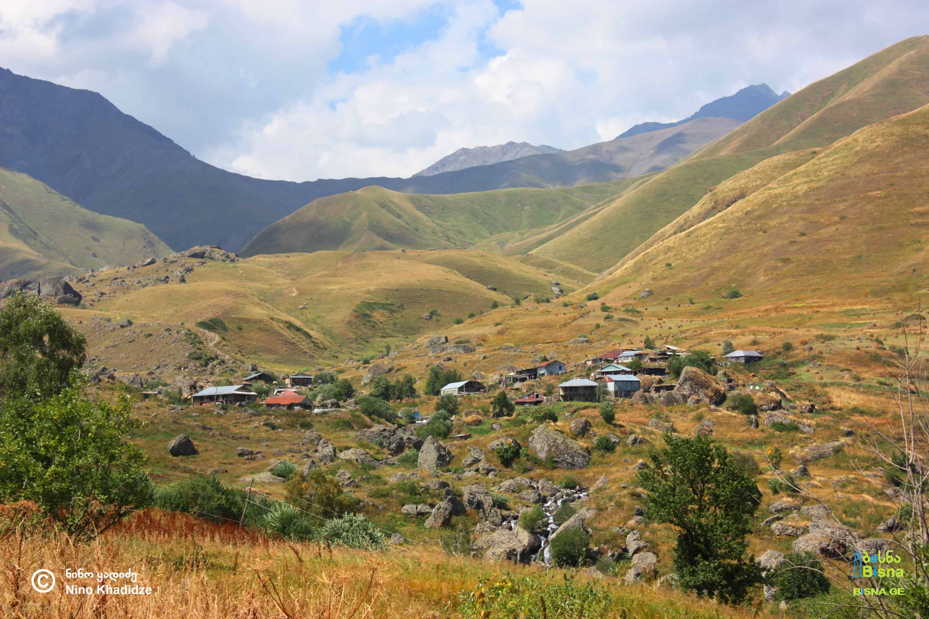
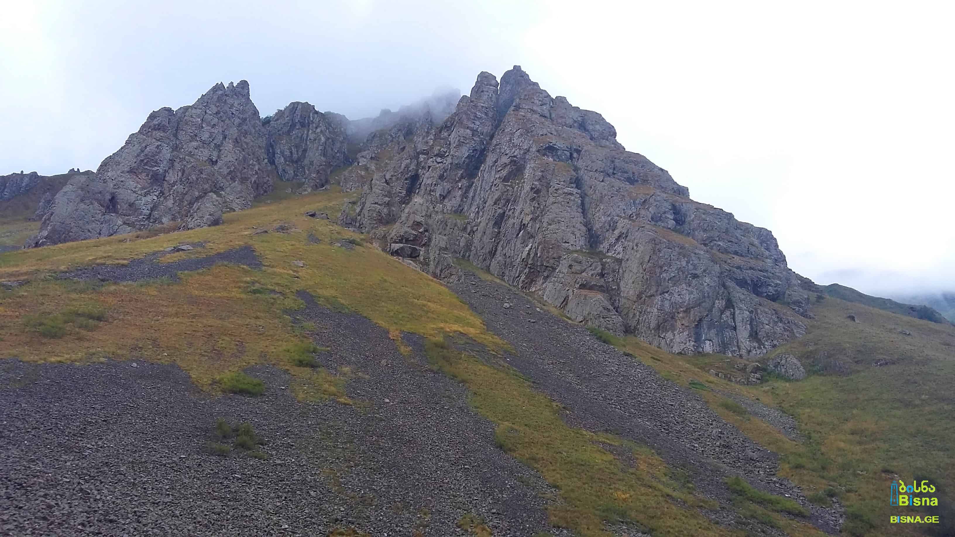
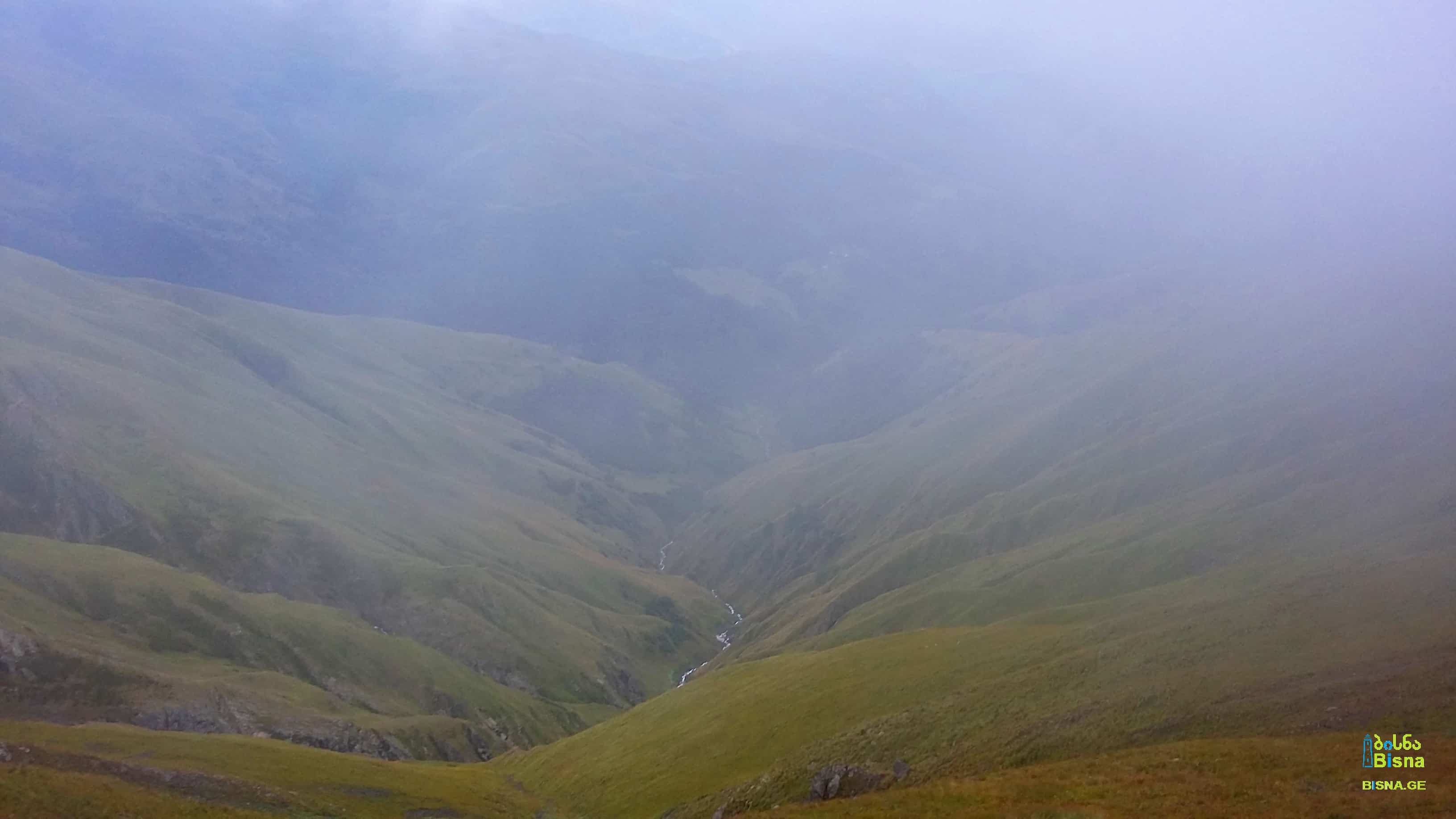
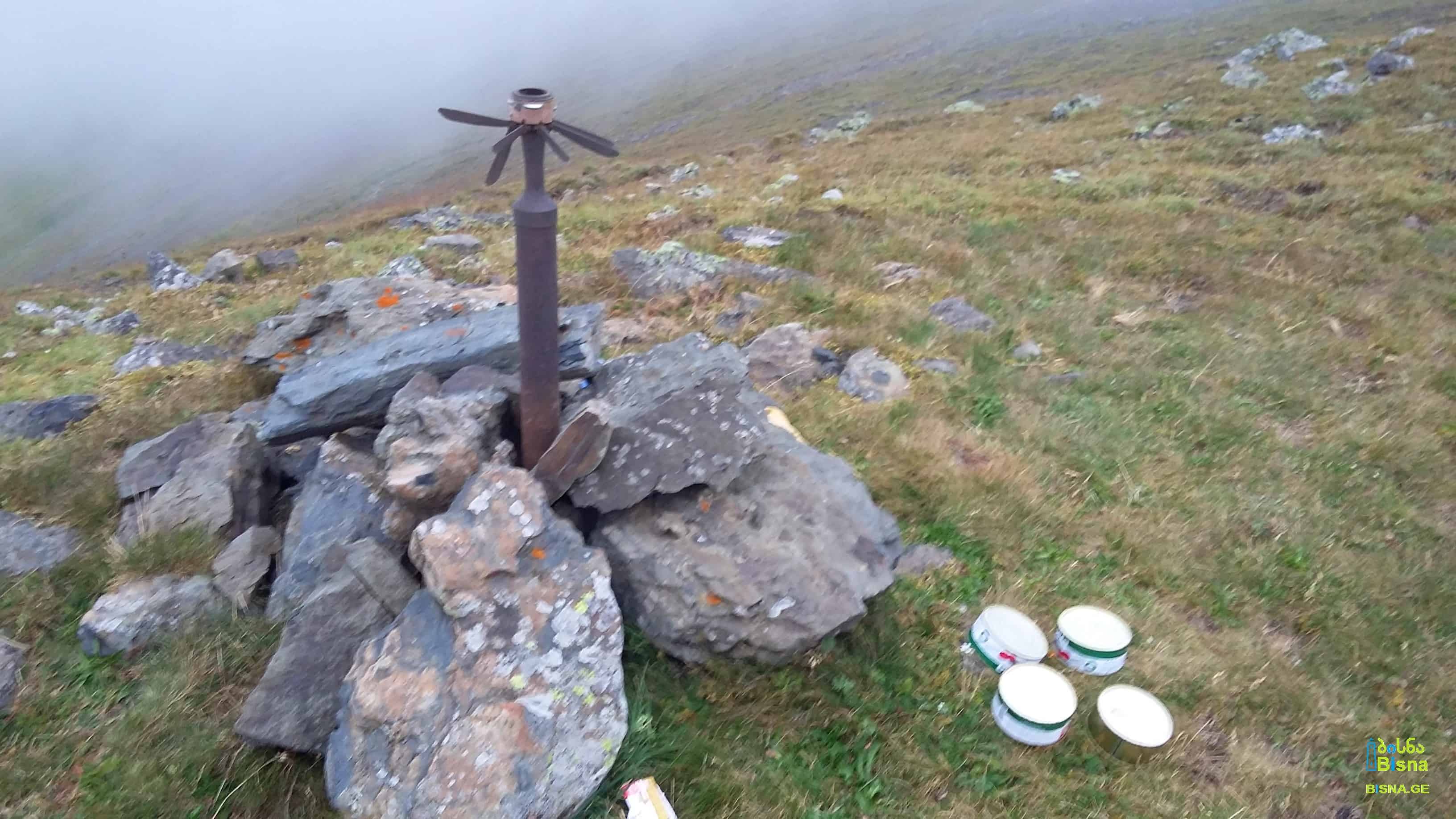
From here, we continue to the right (towards the valley of the left tributary) and, passing Tanie Lake, ascend to Tanie Pass (3040 m / 9974 ft) located in the Caucasus Range. An aerial bomb dropped by the Russian Armed Forces serves as a marker indicating our arrival at the pass. From here, we enjoy panoramic views of Piraketa Khevsureti (the basin of the Khevsuretis Aragvi River). Descending through a steep descent, we reach the village of Ukankhadu, the final point of the tour.
For those seeking a more challenging trek, the Arkhoti tour with the Isartghele Pass direction is also available.
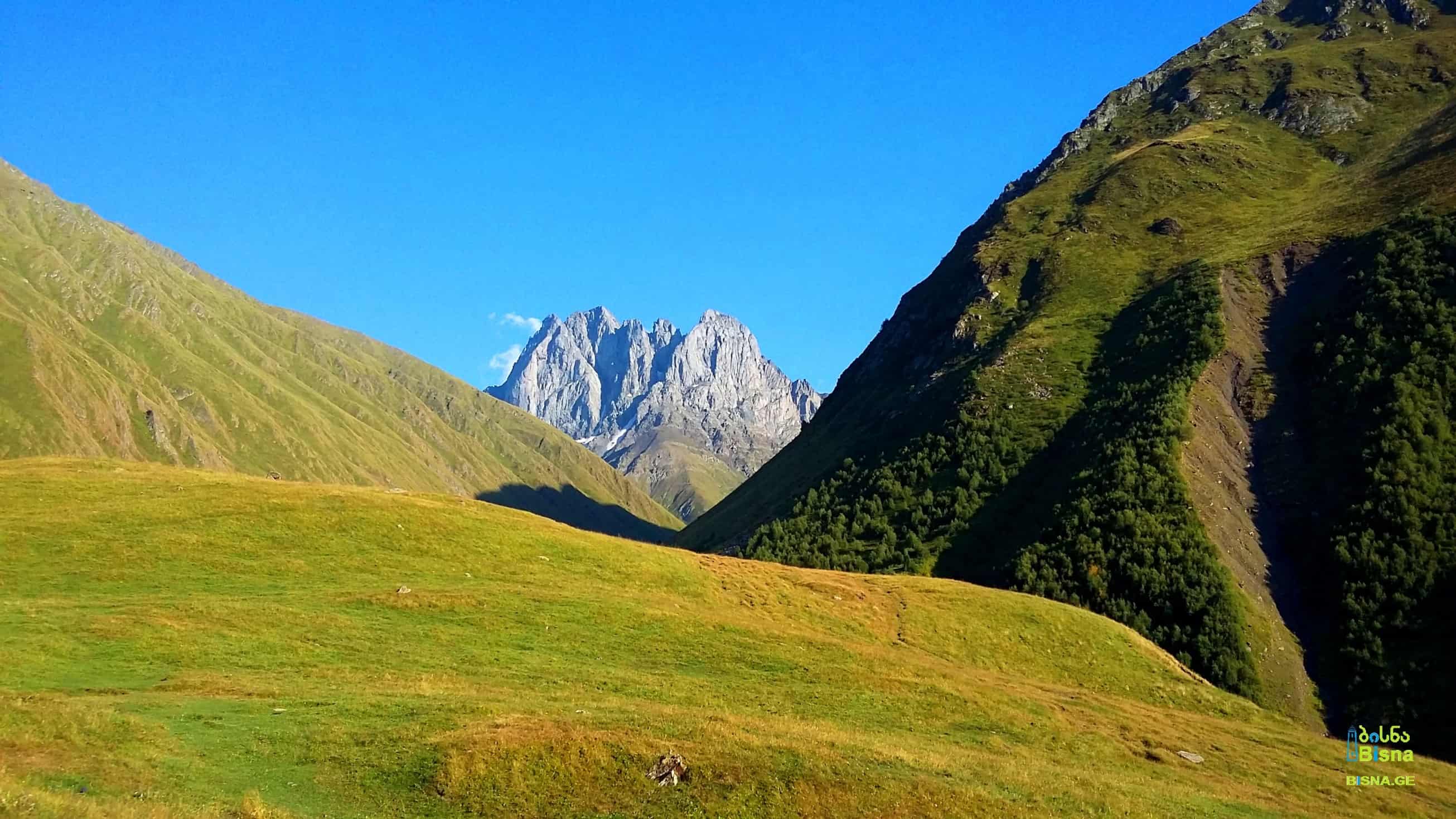
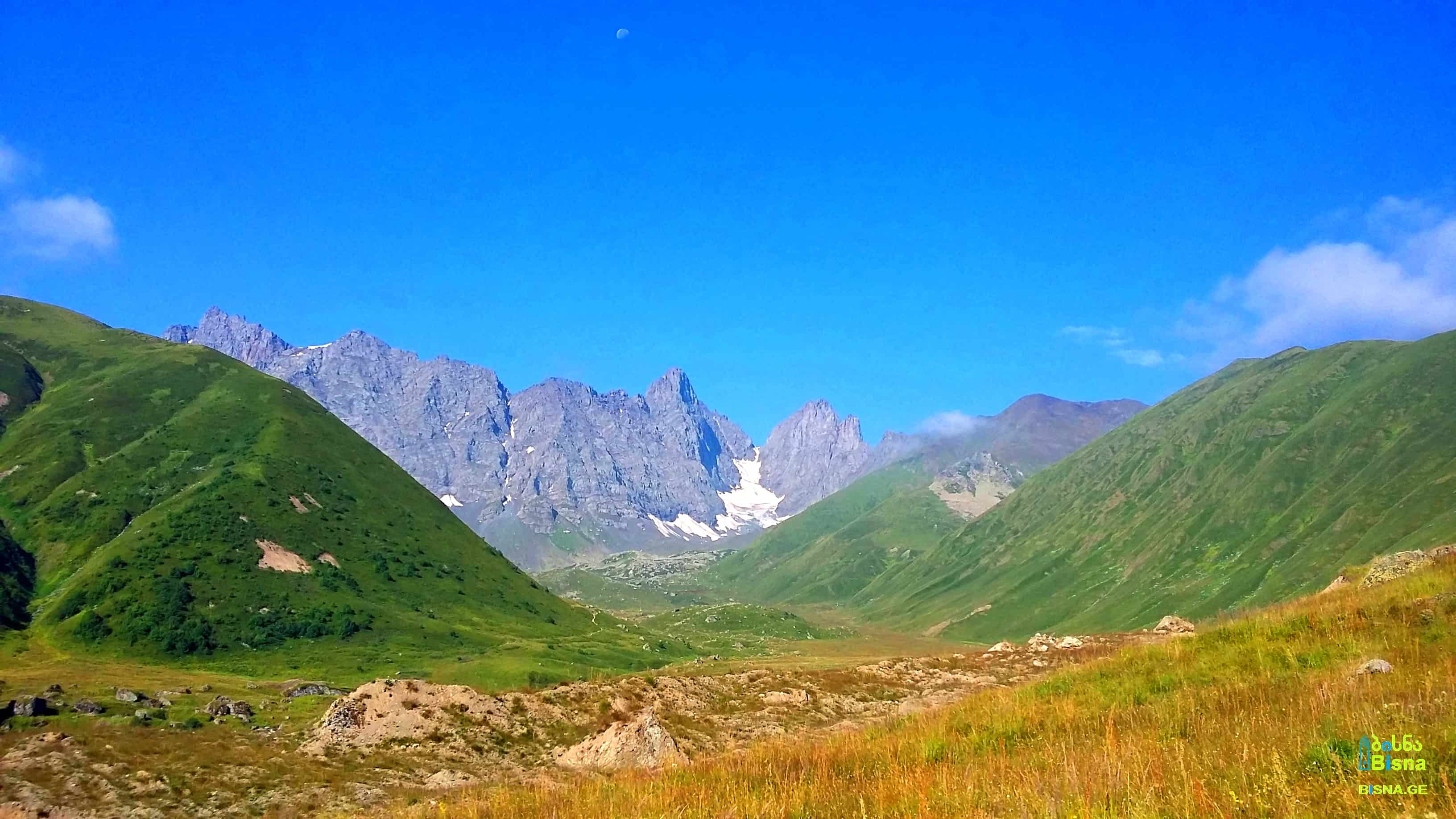
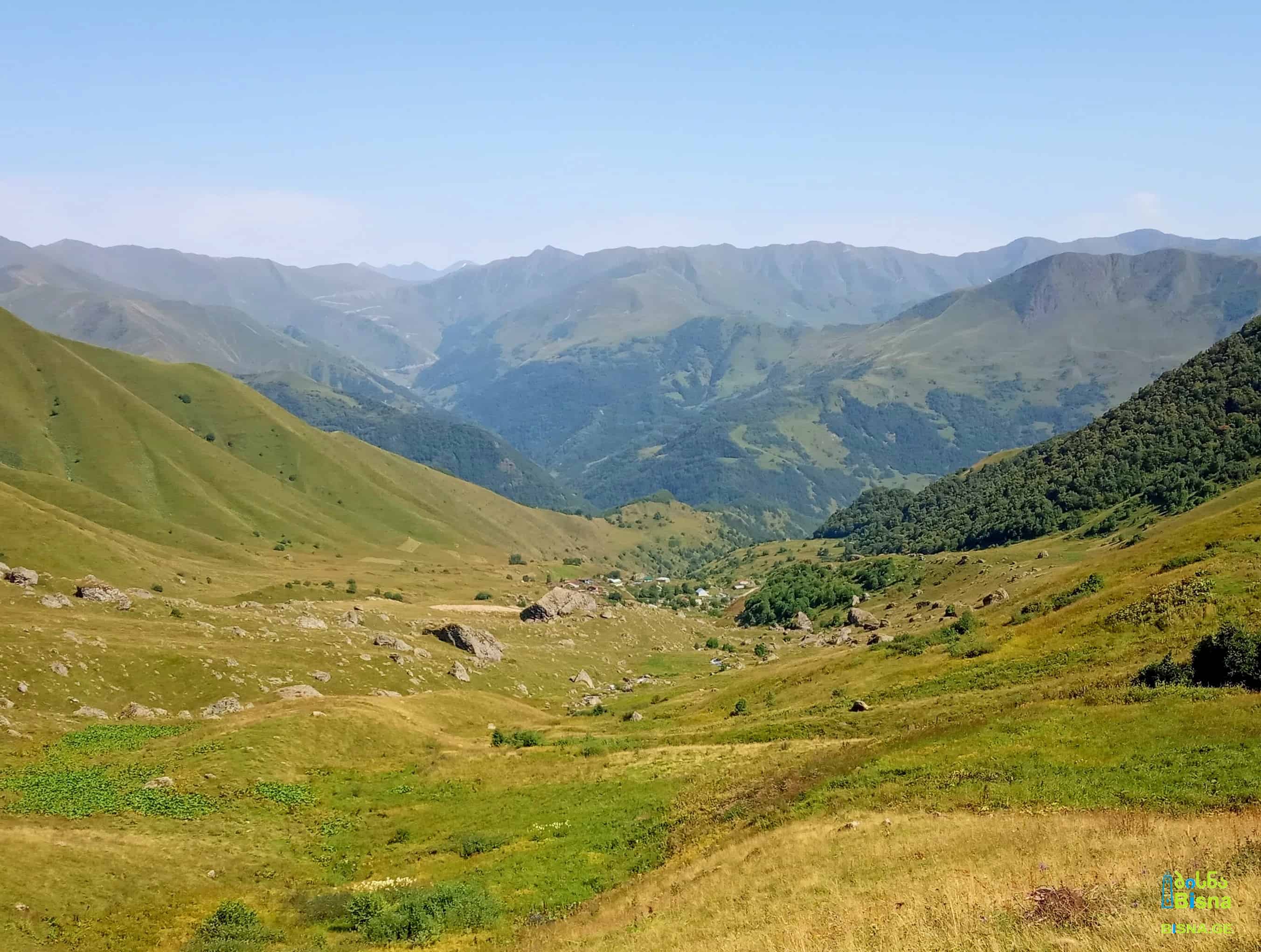
Piraketa Khevsureti seen from nearby areas of Tanie Pass

Location:
● Arkhoti, Pirikita Khevsureti, Georgia
● Historical province: Khevi (Khazbegi Municipality), Khevsureti
Duration:
● Total: 4 days
● Hiking/Trekking: 3 days
Extreme elevation difference:
From Juta - 1796 m / 5892 ft | From Roshka - 1772 m / 5814 ft ?
Total hiking distance:
From Juta - 50 km / 31,1 miles | From Roshka - 48,7 km / 30,3 miles
The circumstances to be considered:
● Find our terms and conditions here.
● For obtaining necessary permit from Georgian Border Police, Bisna needs the photo of the information page of your passport that should be sent us at least 8 days prior the tour.
● Slippery descent(s)
● Steep ascent(s)
● Steep descent(s)
● Crossing strong river stream(s), that, apart of being an obstacle and physical challenge, results in getting footwear (and maybe trousers too) wet as well.
● Stepping/hiking in wet conditions (river streambed, swamp, wet or humid soil, deep mud etc.)
● Getting footwear/trousers wet during the hike
Various amateur videos:
Arkhoti is the most isolated among the settled areas of Georgia.
Pirikita Khevsureti (the part of Khevsureti located north of the Caucasus Range) consists of three valleys:
● Ardoti Valley — the basin of the Andaki (Ardotistskhali) River;
● Shatili Valley — the basin of the Argun River;
● Arkhoti Valley — the basin of the Asa (Arkhotistskhali) River.
Arkhoti is the most remote and hard-to-reach among these three valleys. There are no communication services or cellular coverage in the valley, and the road to the villages of Arkhoti was only constructed in 2017. Prior to this, Arkhoti was the only settled area in Georgia inaccessible by any kind of vehicle.
There are three villages in Arkhoti: Chimgha, Akhieli, and Amgha, with a total permanent population not exceeding 15 persons.
We can start the route either from the village of Roshka in Piraketa Khevsureti (Dusheti Municipality) or from the village of Juta in Khevi (Khazbegi Municipality).
Roshka village
From Roshka, the route to Arkhoti follows the new road crossing the Caucasus Range through Arkhoti Pass, while from Juta, we must hike along a mountain path through Arkhotistavi Pass (3265 m / 10712 ft).
In both cases, we pass the rocky massif of Chimga on the right and proceed to Akhieli Village, followed by Amgha Village. After Amgha, we traverse the narrow valley of the Asa River and Kavis Kari until we reach the confluence of the Taniestskhali (the right tributary of the Asa) with the Asa River.
The Taniestskhali Valley is the most challenging section of the tour. We frequently have to cross the river and sometimes navigate through the streambed. Eventually, we reach the point where the two main streams of Taniestskhali converge.
From here, we continue to the right (towards the valley of the left tributary) and, passing Tanie Lake, ascend to Tanie Pass (3040 m / 9974 ft) located in the Caucasus Range. An aerial bomb dropped by the Russian Armed Forces serves as a marker indicating our arrival at the pass. From here, we enjoy panoramic views of Piraketa Khevsureti (the basin of the Khevsuretis Aragvi River). Descending through a steep descent, we reach the village of Ukankhadu, the final point of the tour.
For those seeking a more challenging trek, the Arkhoti tour with the Isartghele Pass direction is also available.
Piraketa Khevsureti seen from nearby areas of Tanie Pass
Search/Filter
