

 Accomodation (16)
 Food (6)
 Entertainment (3)
 Extreme & Recreation (3)
 Guides (8)
 Transportation (31)
 Car Rental (4)
 Photo Gallery
 Video Gallery
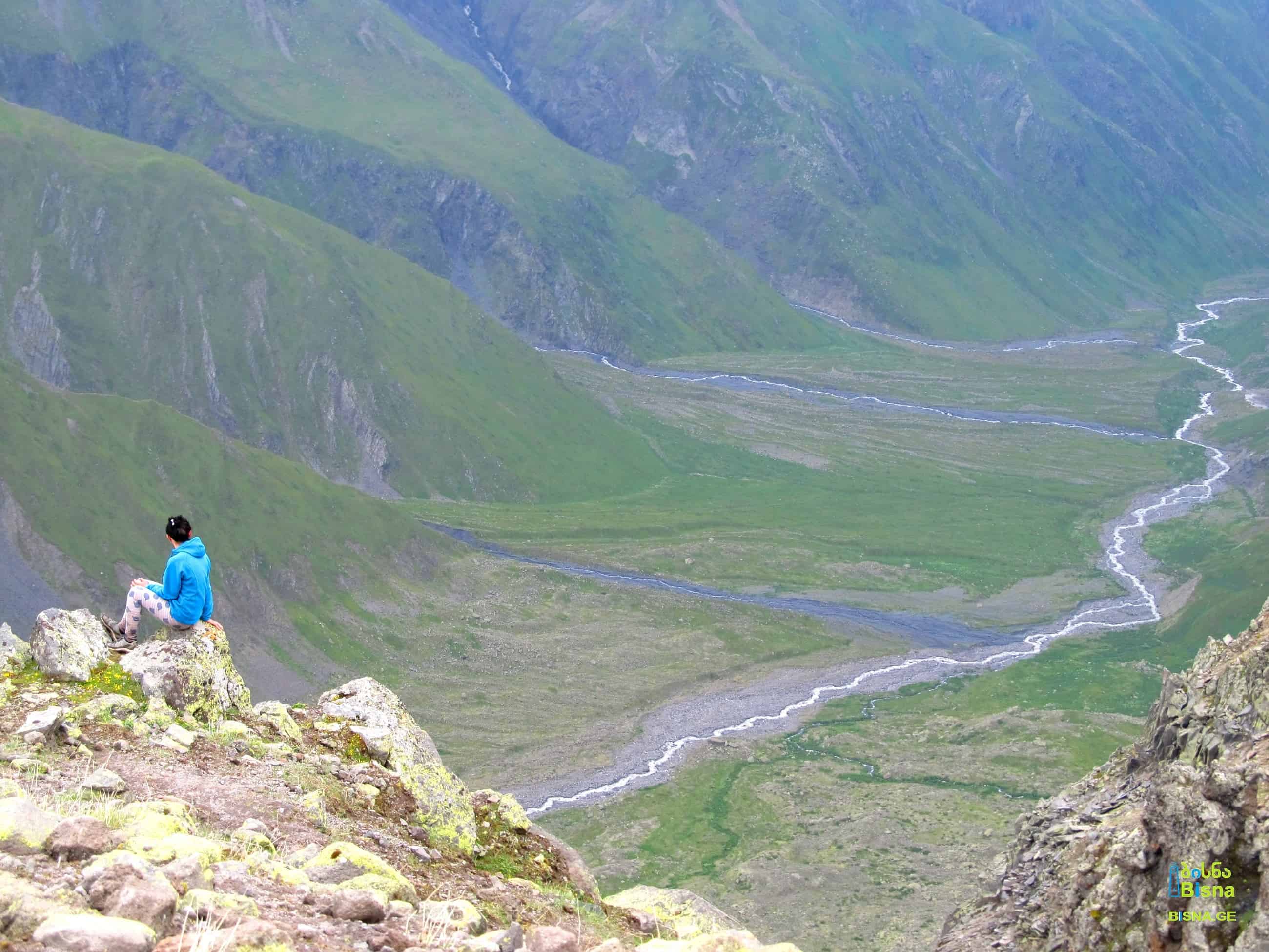

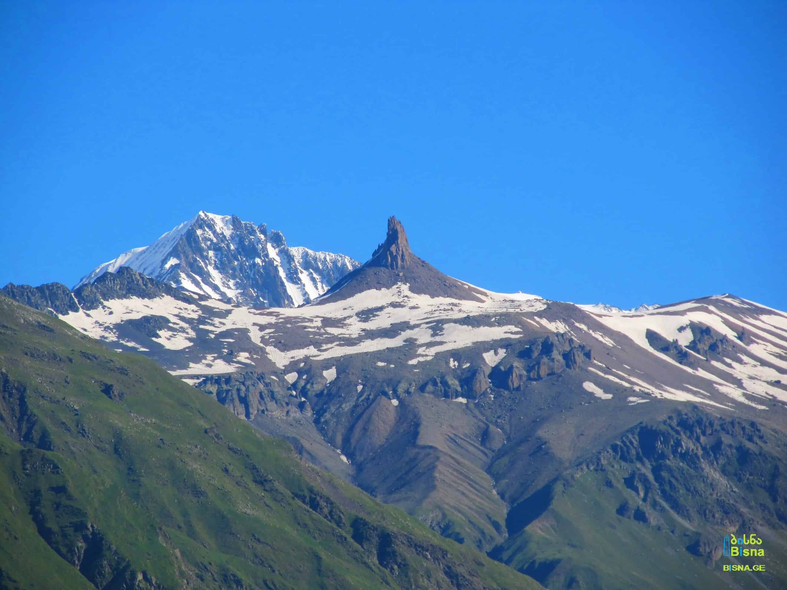


The Mna Valley, situated along the Mnistskhali River, is a part of the Terek (Tergi) River Basin. The Mnistskhali River itself is the largest left tributary of the Terek within Georgia's territory. Rising high above, the Mna Fang (Georgian: მნის ეშვი, Mnis Eshvi), a towering rocky pillar, stands at approximately 3600 meters (11,811 feet) above sea level on the ridge separating the Mna and Suatisi Valleys.
Mna Fang is visible from the onset of the Truso Valley, although for much of the year, its base remains shrouded in snow.
Mna Valley and Mna Fang
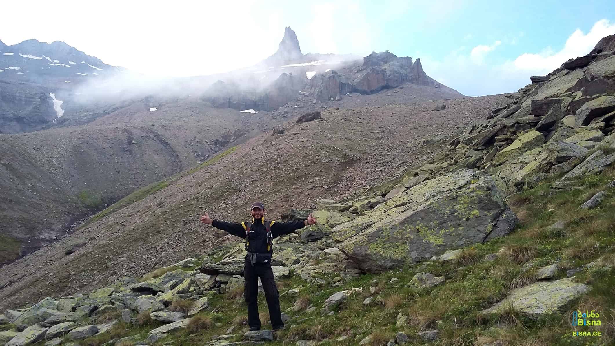
Ascending Mna Fang is considered one of the challenging feats undertaken by Bisna, as heavy mist often obscures some of the views along the way.
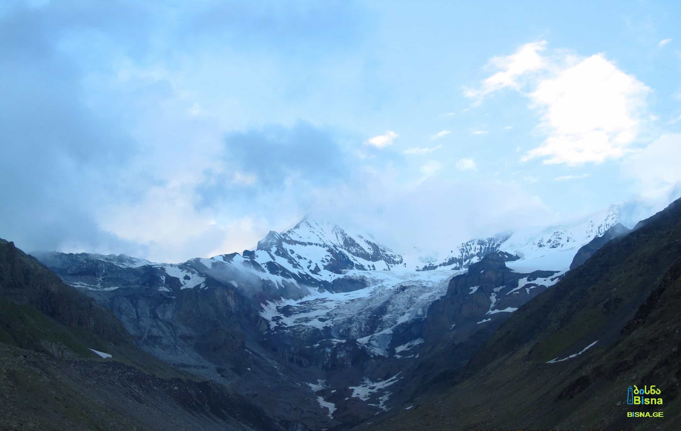
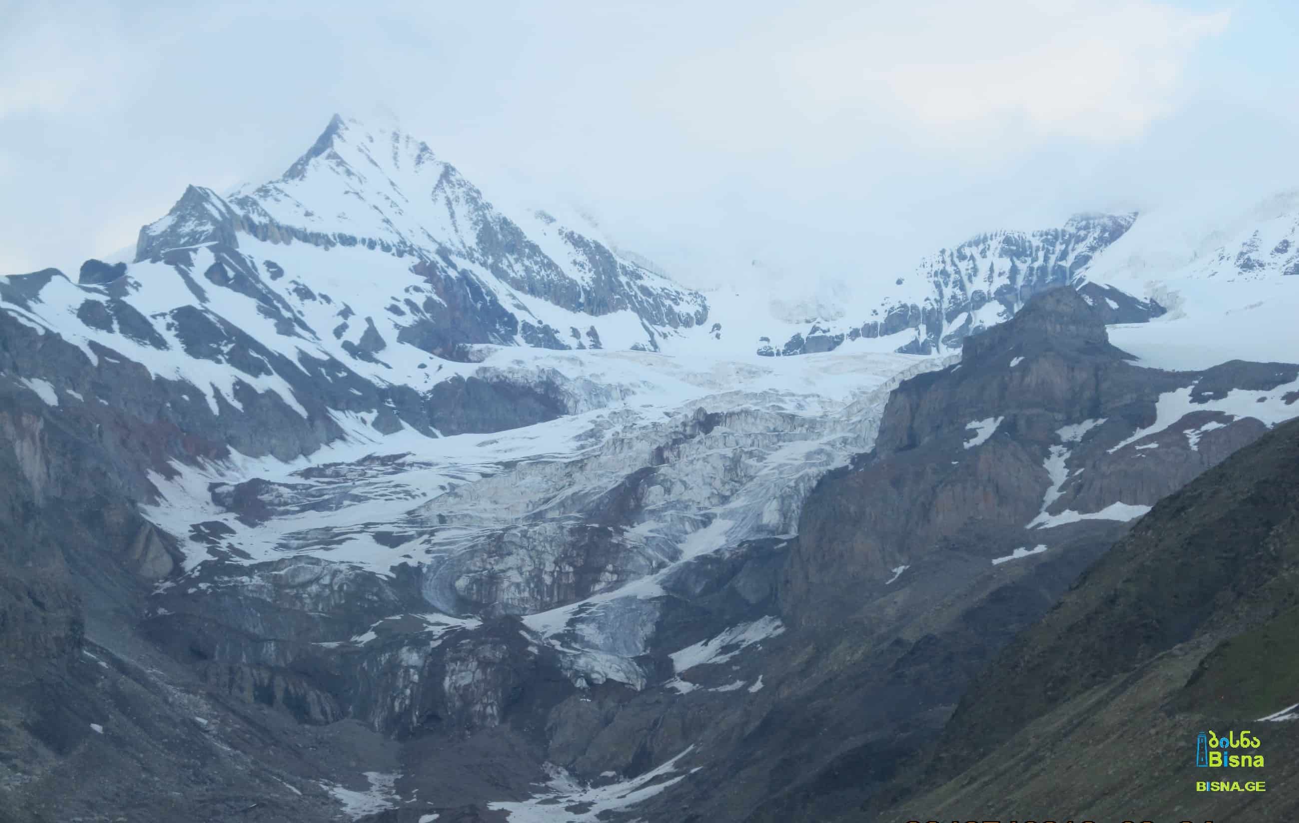
The hiking route commences from the confluence of the Terek and Mnistskhali rivers. Along the journey, hikers will traverse through the entire valley, passing by massive rocks, the ancient fortified village of Mna, Mna Church, and Mna Waterfall. Following the waterfall, a steep ascent leads towards the fang. Along this ascent, breathtaking vistas unfold, showcasing the valley, Mount Kazbek, and the surrounding glaciers.
After the end of alpine zone, rocky and lifeless landscape begins, where just the trace of presence of mountain goats can be detected.
Upon reaching an elevation of 3600 meters (11,811 feet), hikers arrive at the base of Mna Fang, a colossal rocky pillar perched on the edge of the ridge. Climbing equipment is necessary for scaling the pinnacle of the fang, yet visitors can still revel in the magnificence of Mna Fang and its surroundings from its base.

The Mna Valley, situated along the Mnistskhali River, is a part of the Terek (Tergi) River Basin. The Mnistskhali River itself is the largest left tributary of the Terek within Georgia's territory. Rising high above, the Mna Fang (Georgian: მნის ეშვი, Mnis Eshvi), a towering rocky pillar, stands at approximately 3600 meters (11,811 feet) above sea level on the ridge separating the Mna and Suatisi Valleys.
Mna Fang is visible from the onset of the Truso Valley, although for much of the year, its base remains shrouded in snow.
Mna Valley and Mna FangAscending Mna Fang is considered one of the challenging feats undertaken by Bisna, as heavy mist often obscures some of the views along the way.
The hiking route commences from the confluence of the Terek and Mnistskhali rivers. Along the journey, hikers will traverse through the entire valley, passing by massive rocks, the ancient fortified village of Mna, Mna Church, and Mna Waterfall. Following the waterfall, a steep ascent leads towards the fang. Along this ascent, breathtaking vistas unfold, showcasing the valley, Mount Kazbek, and the surrounding glaciers.
After the end of alpine zone, rocky and lifeless landscape begins, where just the trace of presence of mountain goats can be detected.
Upon reaching an elevation of 3600 meters (11,811 feet), hikers arrive at the base of Mna Fang, a colossal rocky pillar perched on the edge of the ridge. Climbing equipment is necessary for scaling the pinnacle of the fang, yet visitors can still revel in the magnificence of Mna Fang and its surroundings from its base.
Search/Filter
